The 60-second version
The Georgian Trail — the real one — runs only between Collingwood and Meaford by way of Thornbury, about 32–34 km one-way. It does not touch Wasaga Beach, and there is no “Wasaga trailhead” on it. What Wasaga Beach actually has is its own trail: the Shore Lane Trail, a free 14 km mixed-surface route along the shoreline and through Wasaga Beach Provincial Park, plus a signed on-road option of roughly 13 km that gets a rider the rest of the way toward Collingwood. Both are free, both have parking, and neither requires a membership or a pass. Once you’re in Collingwood, the real Georgian Trail picks up and continues west toward Thornbury and Meaford — a genuinely long, flat, scenic ride, just not the one this corridor is sometimes described as.
If you searched for a Georgian Trail cycling route starting in Wasaga Beach, you may have found conflicting information. That’s because the trail's own name gets borrowed loosely in casual write-ups, and the confusion is common enough that it's worth clearing up properly before you plan a ride around it. Here is what's actually on the ground, town by town, with real distances and real access points.
Educational journalism, not medical advice. Every claim here is checked against its cited sources by editor Timothy Bunce — a health writer, not a physician. It isn’t specific to your situation: for health decisions, talk to your own clinician. How we work →
Some links in this article are affiliate links. If you buy through one, The Beachside Reader earns a commission at no extra cost to you. It never changes which products we pick, or what we say about them. Full affiliate disclosure →
The Georgian Trail runs Collingwood to Meaford — not to Wasaga Beach
The Georgian Trail is a converted rail corridor that connects three Georgian Bay towns: Collingwood, Thornbury, and Meaford. Independent trail sources agree closely on its length — Grey County’s own tourism listing puts it at 33 km, split into a 13 km Meaford-to-Thornbury leg and a 21 km Thornbury-to-Collingwood leg (Visit Grey), while an independent trail-mapping site lists it at 32 km one-way with about 30 access points and parking spread across the three towns (Ontario Bike Trails). The surface is mostly compacted stone-dust and crushed stone with a little asphalt near the towns, and it’s flat enough to be rated wheelchair-accessible.
Wasaga Beach is not one of the three towns on this trail. There’s no eastern extension into Wasaga, no trailhead named for a Wasaga road, and no jointly-run Wasaga-Collingwood non-profit maintaining it — the trail is maintained by the municipalities it actually passes through (Collingwood, The Blue Mountains, and Meaford), and it’s free to ride, with no membership or day-pass system in any independent source we found. If you’re planning a ride that starts in Wasaga Beach and want to eventually reach this trail, you need a separate route to get to Collingwood first — which is exactly what the rest of this guide covers.
The real Wasaga Beach ride: the Shore Lane Trail
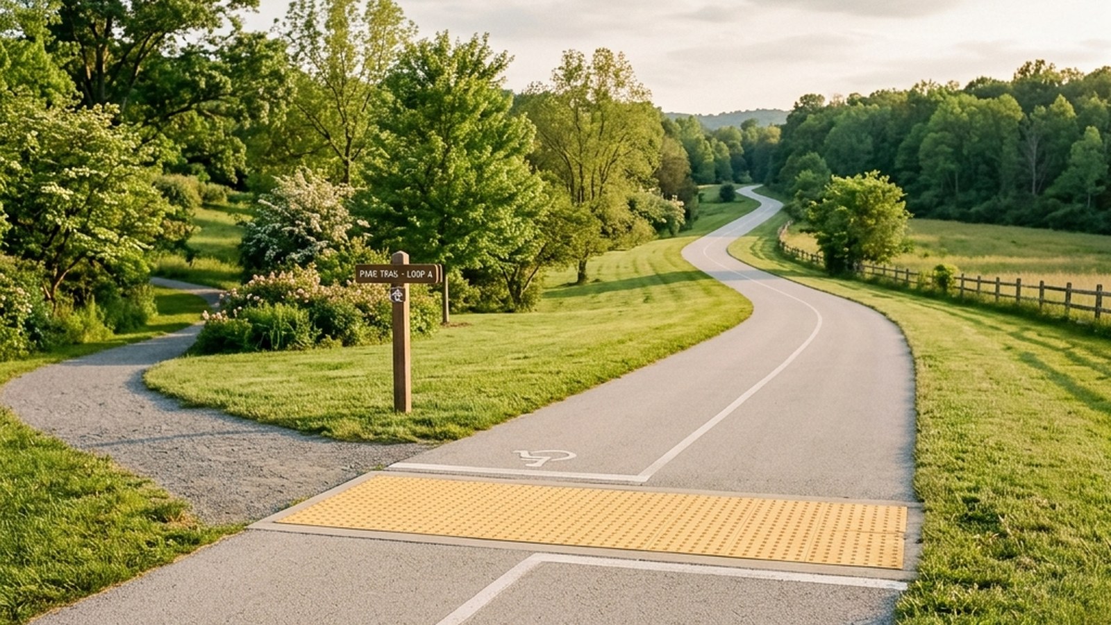
Wasaga Beach’s own dedicated cycling route is the Shore Lane Trail, a 14 km, low-difficulty, mixed-surface path (soil, compacted gravel, and asphalt sections) that runs along the shoreline and through Wasaga Beach Provincial Park, with trailheads at 1380 River Road East and 77 Waterview Road (Explore Wasaga Beach; corroborated at 14.0 km by the Ontario Trails Council). Parking is free at both ends. This is the trail Wasaga residents actually use for a scenic, low-traffic ride — it links the town’s beach areas and passes through park land, and it's part of a wider network the Town describes as more than 100 km of on-road and off-road trails overall.
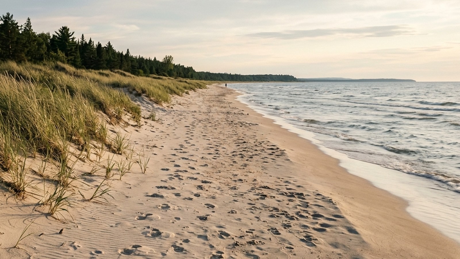
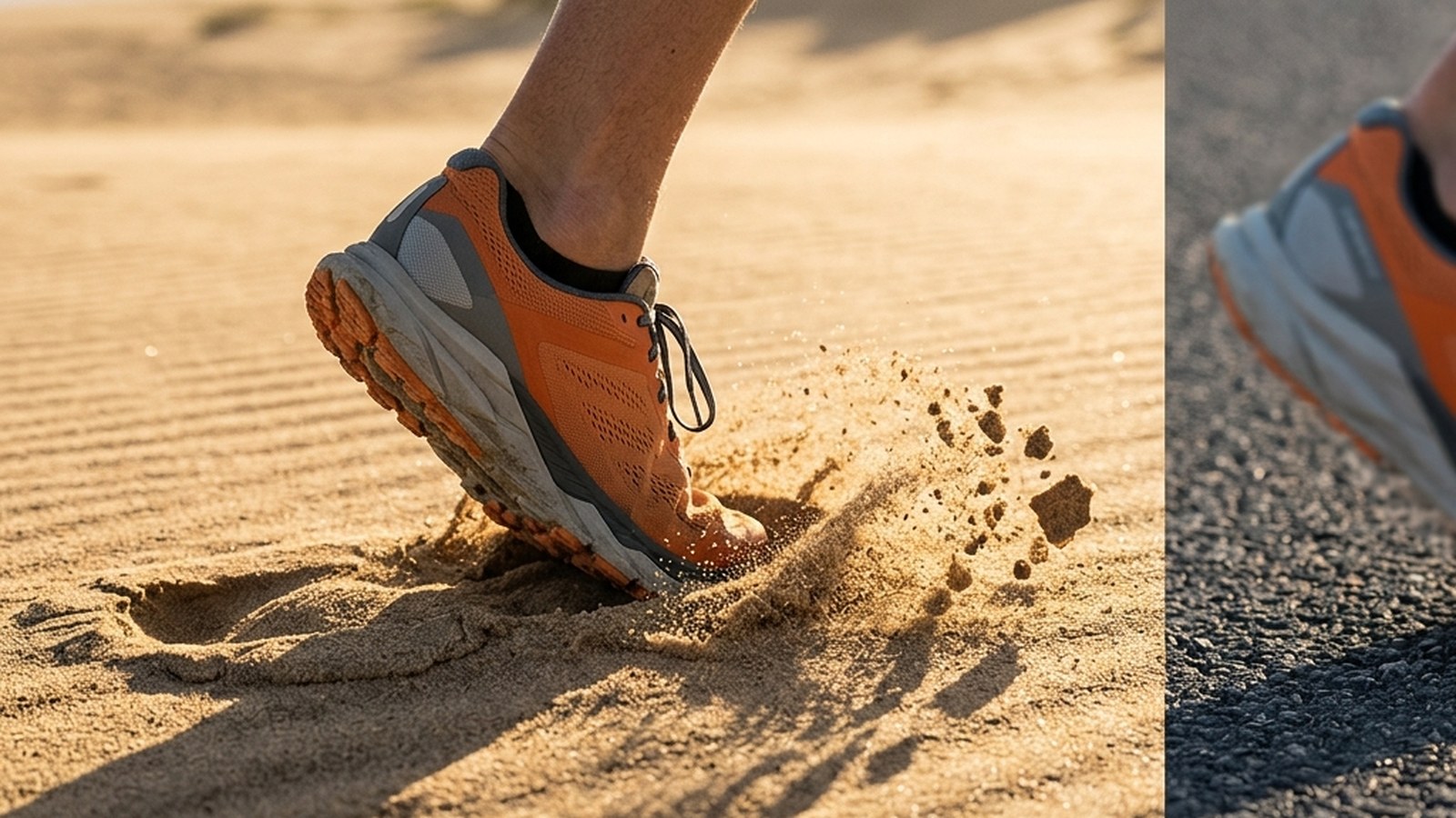
A few practical notes: the surface mix means a pure narrow-tire road bike will feel rough patches, so a hybrid or gravel-style bike is the more comfortable choice. Sand does blow onto sections of the trail near the beach in summer, so expect to slow down and pick a line rather than carry speed through those stretches. If you're riding with kids or want a fully paved, stroller-friendly option instead, our guide to Wasaga's paved, accessible trails covers the flattest, smoothest routes in town, and our off-leash beach and trail guide is useful if you're bringing a dog along for part of the ride.
Bridging the gap: getting from Wasaga Beach to Collingwood by road
The Shore Lane Trail alone doesn’t complete a car-free connection all the way into Collingwood. For that, the regional cycling map published for South Georgian Bay lists a signed on-road option of roughly 13 km each way, described as following quieter local streets before joining a marked path into town (Cycle Simcoe). The same map lists a longer, hillier alternative for riders who want to extend the trip toward the escarpment routes above Collingwood — if that's you, our guide to the Blue Mountain side trails covers what's up there once you've made the climb.
Because this connector runs on public roads rather than a car-free corridor, treat it like any road ride: a helmet, front and rear lights even in daylight, and a wide-line habit on the narrower stretches. Traffic on the roads between the two towns gets noticeably heavier through summer weekends, so an early-morning start avoids most of it — a pattern Cycle Simcoe itself recommends for the whole South Georgian Bay network, not just this link.
Once you're in Collingwood: the actual Georgian Trail
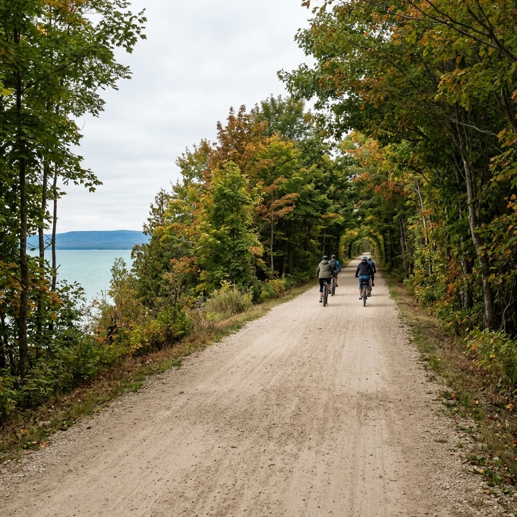
This is where the ride most people are picturing actually starts. From Collingwood, the real Georgian Trail runs west through Thornbury to Meaford, roughly 32–34 km one-way, almost entirely flat, along Georgian Bay's south shore with regular views of the water and the Niagara Escarpment rising behind it. It's free, it doesn't require booking or a pass, and with roughly 30 access points along the way you can ride any length you want and turn back whenever you're done — there's no obligation to do the whole thing in one trip. If you'd rather explore the escarpment on foot once you've cycled up that way, the Pretty River Valley climbs and the history-and-hiking angle at Petun Conservation Area both sit close to the Thornbury end of the trail.
Choosing a bike and gear for the mixed surfaces
Across all three pieces of this trip — the Shore Lane Trail, the road connector, and the real Georgian Trail — the common thread is surface variety: asphalt, compacted stone-dust, gravel, and the odd sandy patch. A hybrid or gravel bike with tires in the 32–40 mm range handles all of it comfortably; a racing road bike on narrow tires will work but will feel every loose-gravel section more than it needs to.
On e-bikes: Ontario defines a legal power-assisted bicycle as one with a motor of 500 watts or less, assist that cuts out above 32 km/h, working pedals, and two independent brakes able to stop it within 9 metres from 30 km/h (Ontario.ca). That's the road rule; individual municipalities and trail managers can still restrict which classes of e-bike are allowed on a given path, so check the signage posted at the trailhead rather than assuming your e-bike is welcome everywhere on this route.
Whichever bike you bring, the underlying case for doing this kind of riding at all holds up well in the research: a 2011 systematic review of cycling and health found consistent evidence that regular cycling improves cardiorespiratory fitness and is associated with lower all-cause mortality risk in observational studies, even at the moderate, recreational intensities typical of a multi-use trail ride (Oja 2011).
Practical logistics: water, transit, and timing
Carry your own water for this trip — we could not confirm reliable potable water taps along the shoreline sections, so a full bottle (or two, in summer heat) before you set out is the safer bet, especially on the longer road connector where services thin out between towns. Simcoe County's LINX transit service does connect Wasaga Beach and Collingwood, which is worth knowing if you want to ride one direction and take the bus back, but confirm current schedules and bike-carrying capacity directly with the service before relying on it — we could not verify those specifics for this piece.
If your route takes you near the beach or the Nottawasaga River mouth, remember there are no lifeguards anywhere in Wasaga Beach and the river mouth itself carries real undertow risk — worth a read before you swim, not just cycle, in that area: our Georgian Bay swim-safety guide covers currents and exit protocol in plain terms.
Related reading
Stroller and wheelchair-accessible paved trails in Wasaga — the flattest, smoothest option in town if the Shore Lane Trail's mixed surface isn't what you need. Blue Mountain side trails near Collingwood — where to go on foot once the escarpment routes bring you up from the road connector. Georgian Bay swim safety: currents and exit protocol — essential reading if any part of your ride includes a stop at the beach.
Frequently asked questions
Does the Georgian Trail actually reach Wasaga Beach?
No. The Georgian Trail runs only between Collingwood and Meaford by way of Thornbury, about 32 to 34 km one-way. There is no Wasaga Beach segment, no Wasaga trailhead, and no joint Wasaga-Collingwood trail authority; the trail is maintained by the towns it actually passes through.
What's the real way to cycle from Wasaga Beach toward Collingwood?
Start on Wasaga Beach's own Shore Lane Trail, a free 14 km mixed-surface route with trailheads at 1380 River Road East and 77 Waterview Road. From there, a signed on-road connector of roughly 13 km completes the trip into Collingwood, where the real Georgian Trail begins if you want to keep riding.
Is there a fee to ride any of these trails?
No. The Shore Lane Trail, the road connector, and the Georgian Trail itself are all free to use, and parking at the trailheads we could verify is also free. Independent trail guides describe no membership or day-pass system for the Georgian Trail.
What kind of bike do I need for this trip?
A hybrid or gravel bike with tires around 32 to 40 millimeters handles the mix of asphalt, compacted stone-dust, and gravel comfortably. A narrow-tire road bike will work but will feel the loose sections more.
Are e-bikes allowed on these trails?
Ontario's general rule permits power-assisted bicycles under 500 watts with pedal-assist that cuts out at 32 km/h, but individual trails and municipalities can restrict which e-bike classes are allowed on their own paths. Check the signage posted at each trailhead rather than assuming your e-bike is welcome everywhere.
References
Oja 2011Oja P, Titze S, Bauman A, de Geus B, Krenn P, Reger-Nash B, Kohlberger T. Health benefits of cycling: a systematic review. Scandinavian Journal of Medicine & Science in Sports. 2011;21(4):496-509. View source →Visit GreyGrey County Tourism. Georgian Trail — trail length, endpoints, and access. View source →Ontario Bike TrailsOntario Bike Trails. Georgian Rail Trail listing — surface, access points, and fee status. View source →Explore Wasaga BeachExplore Wasaga Beach (Town-affiliated tourism site). Shore Lane Trail — length and trailhead locations. View source →Ontario Trails CouncilOntario Trails Council. Shorelane Cycling Route listing. View source →Cycle SimcoeCycle Simcoe. South Georgian Bay Road & Trail Map — Wasaga-Collingwood road connector and Georgian Trail distances. View source →Ontario.caGovernment of Ontario. Riding an e-bike — legal power-assisted bicycle requirements. View source →