The 60-second version
South Georgian Bay is a year‑round outdoor playground that runs roughly 120 km along the Niagara Escarpment and Lake Huron’s second-largest bay. Wasaga Beach anchors the southeast with the world’s longest freshwater beach and a 14 km lakeshore trail. Collingwood and Blue Mountain hold the escarpment and the region’s vertical training terrain. Midland and Penetanguishene wrap the bay’s sheltered north shore with wetland boardwalks and a 2,900‑hectare provincial park. Owen Sound completes the loop with the Bruce Trail and four named waterfalls within ten kilometres of downtown. Together the regions cover every outdoor discipline an active resident or visitor would want — long flat trail running, escarpment hiking, road and gravel cycling, paddling, swimming, Nordic skiing, snowshoeing, and family park infrastructure. This guide maps the public parks, trails, and conservation areas across the loop, the seasonal windows for each, and how to pair fitness level and trip length to the right region. No business reviews, no schedules, no fees beyond Ontario Parks’ published rates — only the parks and the places themselves.
The region in one paragraph
South Georgian Bay sits two hours north of Toronto and roughly an hour from Barrie. The Niagara Escarpment curves through it from southeast to northwest, lifting Blue Mountain to 450 m above the bay and producing the waterfalls of Grey County. The shoreline alternates between sand (Wasaga, Tiny, Wasaga Beach Provincial Park), shale (Collingwood waterfront, Craigleith), and rocky escarpment cliff (Cape Croker, Bruce Peninsula). Inland, hardwood forest predominates — sugar maple, beech, white pine — with Carolinian pockets along the southern shore. The five communities that anchor this guide — Wasaga Beach, Stayner, Collingwood/Blue Mountain, Midland/Penetanguishene, and Owen Sound — each have a distinct outdoor character, but together they form a connected trail and park system that is realistically explorable on day trips from any base in the region.
Wasaga Beach: long flat shoreline, longest freshwater beach in the world
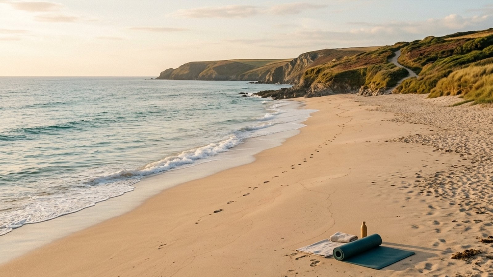
Wasaga Beach is built around Wasaga Beach Provincial Park, the world’s longest freshwater beach at 14 km. The park splits into eight beach areas (Beach Area 1 through Beach Area 6 plus Allenwood Beach and New Wasaga Beach) running west to east along the Nottawasaga Bay shoreline.
For runners and walkers. The Shore Lane Trail is the longest flat off‑road path in the region — 14 km linear, connecting all eight beach areas, paved or hard‑packed throughout. The full out‑and‑back is a marathon. The trail is exceptionally flat with the only elevation being the dune ramps at each beach access point. Best used early morning in summer (cooler, fewer pedestrians) and any daylight hour in shoulder season.
For hikers seeking forest. Wasaga Beach Provincial Park’s inland trails include the Blueberry Plains Trail (mixed forest and open plain, moderate elevation) and the Dunes Trail (sandhill ecosystem unique to the park). The forest portion of the park is the lesser‑visited half — visitors who come for the beach often miss the singletrack inland.
For paddlers. The Nottawasaga River empties into Georgian Bay at Wasaga and is canoeable and SUP‑able from the park’s river access points. The Nottawasaga Canoe Route covers 32 km of paddleable water and is doable in one long day or split across two.
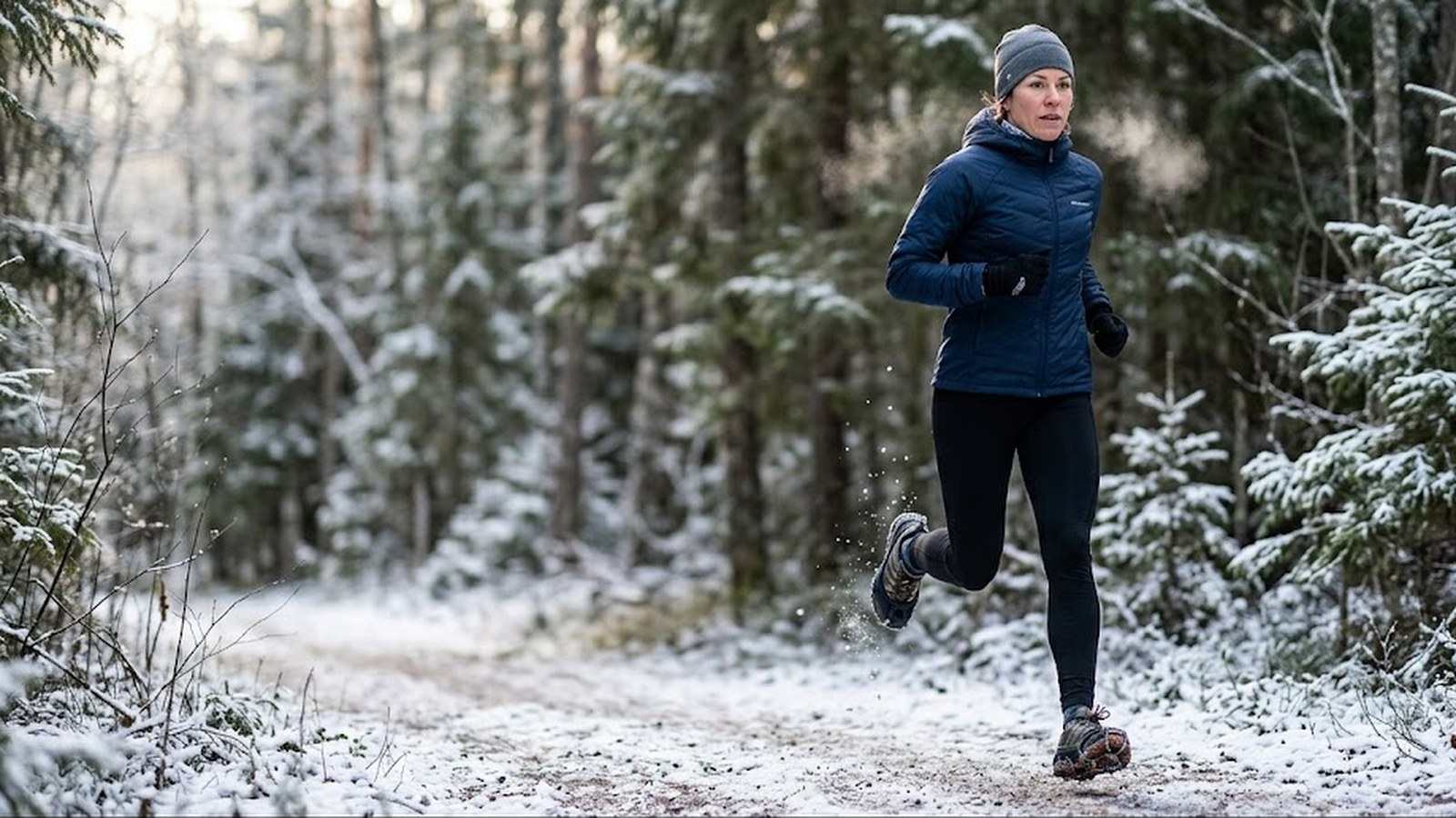
For winter visitors. Wasaga Beach Provincial Park maintains 24 km of groomed Nordic ski trails through the winter — widely considered one of the best Nordic systems in central Ontario. The trail system covers easy through advanced terrain and is patrolled.
Other Wasaga green spaces worth noting. The town manages parkland beyond the provincial park: small lakefront pocket parks at the river mouth, sports fields and playgrounds inland, and the Ganaraska Hiking Trail passes through the region as it traces its 500‑km path from Glen Major to Collingwood.
Stayner and Clearview Township: the central corridor
Stayner sits 15 km inland from Wasaga Beach, the largest town in Clearview Township and the connector between the lakeshore and the escarpment foothills. The town itself is small but the surrounding township holds quiet rural cycling roads and access points to several conservation areas.
For road cyclists. Clearview’s rural concession roads carry low traffic and offer rolling terrain between the lake and the escarpment. Loops through Sunnidale, Creemore (to the east), and Duntroon (to the northwest, climbing toward the escarpment) are local favourites for 40–80 km rides.
For hikers. Devil’s Glen Provincial Park sits at the township’s northeast edge along the Pretty River Valley. The park has a 7.5 km loop along the Mad River gorge with elevation gain that produces actual vertical training — rare in the otherwise flat lakeshore region. The Bruce Trail Main Trail passes through. Pretty River Valley Provincial Park to the north is non‑operating but trail‑accessible.
For families. Stayner Memorial Park and Sunset Point Park (in nearby Collingwood) offer family infrastructure — playgrounds, picnic areas, splash pads, accessible washrooms — without the summer beach crowds of Wasaga.
Collingwood and Blue Mountain: the vertical training playground
Collingwood sits 20 km west of Wasaga along the Georgian Bay shoreline, and Blue Mountain rises directly behind it. This pairing produces the most varied outdoor terrain in the region: waterfront flat for cycling and walking, escarpment vertical for hill training and hiking, and resort infrastructure for winter snow sport.
For lakeside walkers and runners. The Collingwood Waterfront Trail is 4.3 km of paved path along Georgian Bay with the Blue Mountains as the visual backdrop. Sunset Point Park anchors the east end; the harbour and shipyard the west. Flat, dog‑friendly, and a popular sunrise/sunset destination.
For cyclists. The Georgian Trail is the headline ride — 34 km of converted Northern Railway corridor running from Collingwood through Craigleith Provincial Park and Thornbury to Meaford. Flat, gravel surface, well‑maintained, family‑suitable for shorter sections and competitive for the full out‑and‑back. The Georgian Trail intersects road cycling routes that climb the escarpment for those who want vertical with their flat.
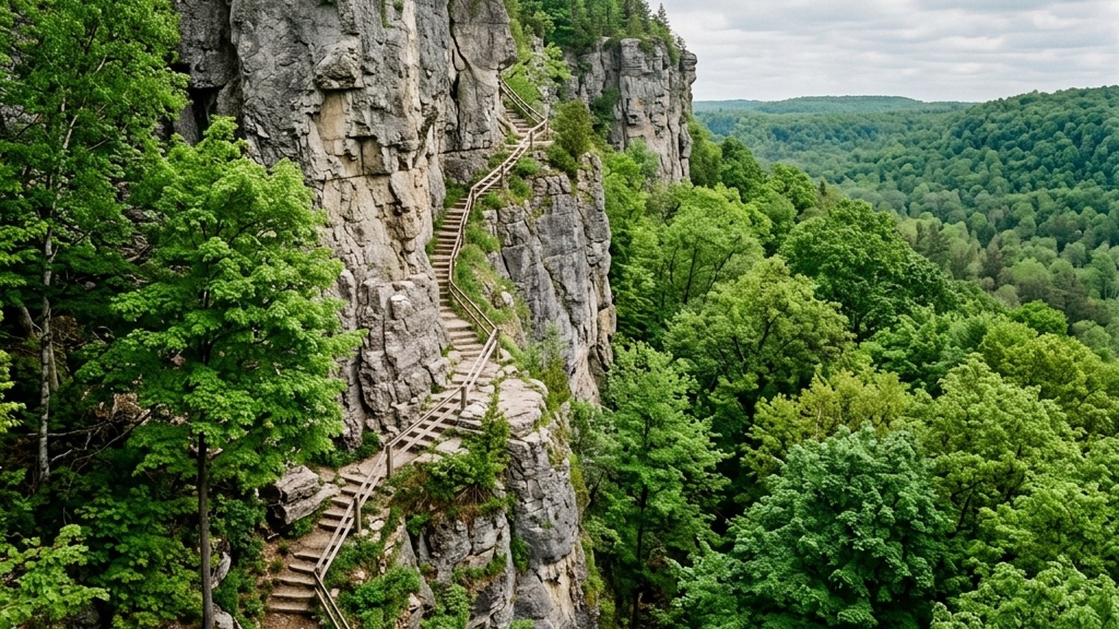
For hikers and trail runners. The Bruce Trail passes directly behind Blue Mountain. Side trails at Pretty River Valley, Loree Forest, Kolapore Wilderness, and the Three Stage Trail in Pretty River produce 500+ kilometres of escarpment hiking and trail running within an hour’s drive. The terrain is dramatic — cliff edges, hardwood forest, occasional waterfalls, escarpment overlooks.
For mountain bikers. Three Stage Trail in Pretty River Valley Provincial Park is 2,500 acres of cycling for all capabilities and levels — the regional standard for organised mountain bike terrain.
For winter visitors. Blue Mountain Resort operates downhill skiing and snowboarding from late November through March. Surrounding Crown land supports backcountry skiing, snowshoeing, and Nordic on the Bruce Trail and side trails. The Kolapore Nordic system in nearby Heathcote is groomed in season.
Tiny, Midland, and Penetanguishene: forested shoreline and wetlands
The bay’s north shore curves through the Township of Tiny and into Midland and Penetanguishene. This region has 70 km of shoreline, five public beach parks, and the second‑largest provincial park in Ontario.
For beach walkers and swimmers. Tiny Township’s five public beaches — Woodland, Bluewater, Jackson Park, Balm Beach, and Lafontaine — cover the spectrum from quiet wooded shoreline (Woodland) through family beach with full amenities (Jackson Park) to small craft launch (Bluewater). Most are less crowded than Wasaga’s peak summer beaches even on July weekends.
For trail users. The Tiny Trail is a 20 km off‑road path that connects to the North Simcoe Rail Trail, producing a usable cycling and walking corridor across the township. Flat, family‑suitable, scenic.
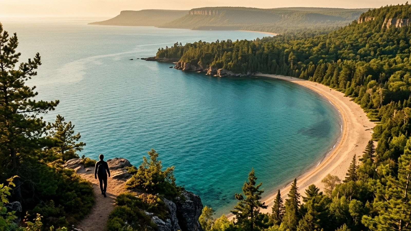
For hikers seeking forest and Georgian Bay views. Awenda Provincial Park at the north end of Tiny is the centerpiece. 2,900 hectares, 31 km of trail, four beaches, and the Methodist Point peninsula jutting into Georgian Bay. Seven trails: Beaver Pond (1 km, easy, barrier‑free), Brûlé (4 km return, easy), Bluff (13 km loop, moderate, traveling the high bluff and wetland combination), and four shorter interconnecting paths. The Bluff Trail’s 13 km is a half‑day commitment with real elevation and the best Georgian Bay views in the park.
For wetland and birding enthusiasts. Wye Marsh Wildlife Centre in Midland operates 30+ kilometres of marsh and boardwalk trail year‑round, with a 2.7 km designated snowshoe trail in winter. The wetland habitat draws migrating waterfowl and shore birds through spring and fall.
For families and small parks. Midland’s Little Lake Park is the town’s family hub — lakefront beach, playground, splash pad, walking loop, picnic infrastructure. Penetanguishene’s waterfront parks anchor the town’s harbour and are smaller but more historic in feel.
For winter visitors. The Georgian Bay snowbelt produces the deepest reliable snow in the region. Awenda’s trails are open through winter for snowshoeing and Nordic skiing. The North Simcoe Rail Trail and Tiny Trail accept snowmobile and snowshoe traffic.
Owen Sound and the Bruce: waterfall country
Owen Sound sits an hour and a half west of Wasaga along the Georgian Bay shoreline, at the southern base of the Bruce Peninsula. The escarpment runs through and around the city, producing four named waterfalls and the densest trail network in Grey County.
For waterfall hikers. Within ten kilometres of downtown Owen Sound: Inglis Falls (18 m cascade on the Sydenham River, 200‑hectare conservation area, 7.42 km of hiking trail), Jones Falls (the upstream sibling on the Pottawatomi River), Indian Falls (horseshoe cascade north of the city), and Weavers Creek Falls (small plunge inside Harrison Park, accessible by 5‑minute boardwalk). The Bruce Trail Main Trail links all four into a single ambitious day hike.
For multi‑day walkers. The Bruce Trail — Canada’s longest and oldest footpath at 886 km from Niagara Falls to Tobermory — forms a ribbon around Owen Sound, linking the Centennial Tower, Harrison Park, Inglis Falls, the West Rocks, and Jones Falls. Side trails offer shorter looped hikes off the main route.
For runners and walkers seeking parkland. Harrison Park on the Sydenham River is the town’s central green — hardwood forest, open parkland, river access, deer that visit the meadows in early morning and dusk. A 3 km hike from the park reaches Inglis Falls.
For escarpment overlooks. The Centennial Tower on the escarpment edge above downtown delivers views of Owen Sound harbour and the Bruce Peninsula in the distance. Access via the Bruce Trail or short drive.
Year‑round seasonal calendar
What works when. The South Georgian Bay region is genuinely four‑season, but each region has windows where it shines.
Spring (March–May). Shore Lane Trail in Wasaga is dry and uncrowded by late April. Awenda’s Beaver Pond Trail wakes up with spring birds. Bruce Trail at Inglis Falls runs at peak volume from snowmelt. Mountain biking opens at Three Stage Trail in May. Lake water is cold; swimming is for hardy types.
Summer (June–August). Tiny beaches and Wasaga shore are peak. The Georgian Trail is family‑crowded but pleasant early morning. Forest hiking at Awenda, Devil’s Glen, and the Bruce Trail rewards early starts (cooler, fewer ticks active). Lake swimming windows open at most beaches from mid‑June through August.
Autumn (September–October). The region’s prime time for hiking and running. Niagara Escarpment hardwood reaches peak colour around mid‑October. Devil’s Glen, Bruce Trail at Inglis Falls, Pretty River, Awenda Bluff Trail, Loree Forest — all spectacular. Cool, dry, low humidity. Race season throughout the region.
Winter (December–February). Wasaga Beach Provincial Park’s 24 km Nordic system. Blue Mountain Resort downhill. Backcountry skiing on Crown land behind Blue Mountain. Snowshoeing at Wye Marsh, Awenda, and most Tiny trails. The bay rarely freezes solid — do not walk on it — but shore landscape is striking in pack ice.
Pairing fitness level and trip length to region
The whole point of a regional guide is matching the user to the right destination. Some practical pairings.
New to outdoor recreation, family with young children. Wasaga Shore Lane Trail (flat, accessible), Tiny’s Jackson Park (family beach with playground), Little Lake Park in Midland (compact lakefront with infrastructure), Awenda’s Beaver Pond Trail (1 km, barrier‑free), Weavers Creek Falls (5‑minute boardwalk). All low‑commitment, well‑serviced, suitable for short attention spans and stroller wheels.
Recreational fitness, half‑day commitment. Georgian Trail Collingwood–Thornbury section (cyclists), Inglis Falls 7 km hike (hikers), Awenda Brûlé Trail return (mixed walking/hiking), Wasaga Provincial Park inland Blueberry Trail (singletrack walking), Collingwood Waterfront Trail and Sunset Point (loop walkers).
Trained runners and hikers, full‑day commitment. Devil’s Glen Pretty River loop (hill repeats and vertical training), Awenda Bluff Trail 13 km loop (forest plus shoreline view), Bruce Trail Owen Sound four‑falls hike (technical and long), Georgian Trail full out‑and‑back 68 km (endurance cycling), Shore Lane Trail Wasaga full length 28 km out‑and‑back (long flat running).
Paddlers. Nottawasaga River from Wasaga (32 km canoe route), Georgian Bay sheltered shore at Tiny on calm days (SUP), Inland lake paddles at Pretty River and the smaller conservation lakes (calm water, no wake).
Winter dedicated. Wasaga Beach Provincial Park 24 km Nordic system, Blue Mountain Resort downhill, Kolapore Nordic in Heathcote, Wye Marsh snowshoe trail in Midland, Awenda backcountry snowshoe.
Practical logistics
Getting there. From Toronto, the standard route is Highway 400 north to Highway 26 (Collingwood, Wasaga, Blue Mountain) or Highway 12 (Midland, Penetanguishene, Tiny). Owen Sound is reached via Highway 26 westbound from Collingwood or Highway 6 north from Highway 401 (longer but more direct from the GTA west end). All five regions are within a two‑hour drive of one another, so a base in Wasaga, Collingwood, Midland, or Owen Sound makes any other region a day trip.
Ontario Parks fees. Wasaga Beach Provincial Park, Awenda Provincial Park, and Devil’s Glen Provincial Park charge daily vehicle permits (Awenda is a campground park with full operations; Devil’s Glen is non‑operating but trails are accessible). Inglis Falls Conservation Area charges a small per‑car day fee. Bruce Trail itself is free. Town parks (Tiny, Midland, Collingwood, Owen Sound) are typically free for daytime use, with paid parking at peak summer beach access points.
Parking. Park at trailhead lots where designated — many side trails have small lots that fill on weekend mornings. Have a backup destination in mind for peak summer (Tiny beaches and Wasaga Beach Areas 1 and 6 fill by 10am on hot Saturdays). Owen Sound, Stayner, and the Bruce Trail at Inglis Falls remain accessible later in the day.
Trail navigation. The Bruce Trail Conservancy publishes the definitive Bruce Trail Reference Guide and detailed online trail descriptions. Ontario Parks maintains trail maps for each provincial park. AllTrails covers the region with user‑contributed GPS tracks. The Town of Wasaga Beach publishes the Shore Lane Trail map; the Township of Tiny publishes the Tiny Trail map.
Wildlife and safety. Black bears are present in the escarpment hardwood (uncommon, mostly avoidant). Ticks are active spring through fall — check after every hike. Coyotes are common but rarely a concern. Lake conditions can change rapidly — the bay’s sheltered north shore is calmer than Wasaga’s open south shore. Always check water conditions before paddling.
Why this region rewards repeated visits
Most regional tour guides have one signature feature — a beach, a mountain, a single waterfall. South Georgian Bay’s strength is the combination: a 14 km beach, a 450 m escarpment, a 2,900 hectare provincial park, four named waterfalls, a 34 km converted rail trail, a 886 km long‑distance footpath, and 70 km of additional shoreline beaches all within a two‑hour driving radius. Few regions in southern Ontario offer this variety of outdoor terrain in this density.
For visitors, this means a multi‑day trip can move through genuinely different landscapes day‑to‑day without long transfers. For residents, it means the year‑round outdoor calendar has variety built in — the same trail does not have to carry the whole programme.
The guide above maps the public infrastructure: parks, trails, conservation areas, public beaches, provincial parks. It is deliberately silent on commercial operators, tour businesses, restaurants, and accommodations. The point is the places themselves — the parks and the paths that belong to everyone.
Practical takeaways
- Wasaga anchors the southeast: world’s longest freshwater beach, 14 km Shore Lane Trail, 24 km winter Nordic system, river paddling.
- Stayner and Clearview connect: rural cycling and Devil’s Glen escarpment hiking inland of the lake.
- Collingwood and Blue Mountain hold the vertical: Bruce Trail, Three Stage MTB, Georgian Trail rail‑trail, winter downhill at the resort.
- Tiny and Midland wrap the sheltered north shore: Awenda Provincial Park, Wye Marsh, five public beaches, family infrastructure.
- Owen Sound is waterfall country: four named waterfalls within 10 km of downtown, Bruce Trail Conservation Area network, Harrison Park.
- Plan by fitness level: barrier‑free trails to 13 km Bluff loops to 32 km canoe routes — the spectrum is here.
- Year‑round terrain: October peak colour, summer beach swimming, winter Nordic and downhill, spring trail access — no off‑season.
- Public infrastructure first: this guide covers parks and trails, not businesses. Ontario Parks fees apply at three provincial parks. The Bruce Trail is free.
References
Additional sources reviewed for this article: Bruce Trail Conservancy, Ontario Parks, Owen Sound Tourism, Township of Tiny, Blue Mountain Resort, Destination Ontario.
Bruce Trail ConservancyBruce Trail Conservancy — Trail information, side trails, and conservation areas across the 886 km Niagara Escarpment route. View source →Ontario ParksOntario Parks — Wasaga Beach Provincial Park, Awenda Provincial Park, Devil’s Glen Provincial Park, Pretty River Valley Provincial Park, Craigleith Provincial Park information. View source →Owen Sound TourismOwen Sound Tourism — Trails, waterfalls, parks, and recreational facilities in Owen Sound and Grey County. View source →Township of TinyTownship of Tiny — Public beaches, Tiny Trail, North Simcoe Rail Trail, and township park information. View source →Blue Mountain ResortBlue Mountain Resort — Year-round activities at the Blue Mountains escarpment resort, including hiking, mountain biking, and seasonal snow sports. View source →Destination OntarioDestination Ontario — The Blue Mountains, Midland and Penetanguishene, and South Georgian Bay regional tourism information. View source →Wye Marsh Wildlife CentreWye Marsh Wildlife Centre — Wetland trail network, 2.7 km winter snowshoe trail, and year-round wildlife observation in Midland. View source →Visit Grey CountyGrey County official tourism website — Blue Mountains, Owen Sound, and area trail and waterfall references. View source →